
Local Nature Reserves are a statutory designation established by local authorities for public enjoyment and education and for their valuable wildlife habitats. LNRs can be designated on land owned by Telford & Wrekin Council, or by a Town or Parish Council if the relevant power is delegated by Telford & Wrekin Council. LNRs are best considered as the important nodes in multi-functional green networks and are a key part of the environmental resources of Telford & Wrekin because of their excellence as sites for people and wildlife. Some of the wildlife spotted on our varied site can be seen here, and many more photographs are posted on our facebook page by the people who most regularly use and appreciate its beauty.
Ketley Paddock Mound has been supported by officers of Telford and Wrekin, and our friend and supporter John Box. The first steps towards the consideration of Paddock Mound along with a number of other Telford sites came soon after the planning application of 2014 was withdrawn, and we eventually received confirmation of its status as a Local Nature Reserve on 5th March 2020. The following summary shows steps and setbacks on the way:
July/August 2016:
The proposals for Ketley Paddock Mound to be declared a Local Nature Reserve are agreed at cabinet
November 2016:
Natural England officially ‘Welcome’ the intention to declare the reserve
2017-2018:
Due diligence work undertaken including: coal authority searches, drainage searches and reports on title
June 2018:
Due diligence work complete. Due diligence highlight’s the requirement for geo-tech surveys
June-December 2018:
Geo-tech funding secured and surveys undertaken. Geo-tech surveys highlight the need to:
· Erect public information signs highlighting historical mining legacy
· Realign a section of footpath
· Allow an open area of grass surrounding a mineshaft to scrub up – this has been planted with yellow flag iris
March 2019: Quotes received from contractors to realign footpath
April-July 2019: Officers seek to secure funding for footpath realignment.
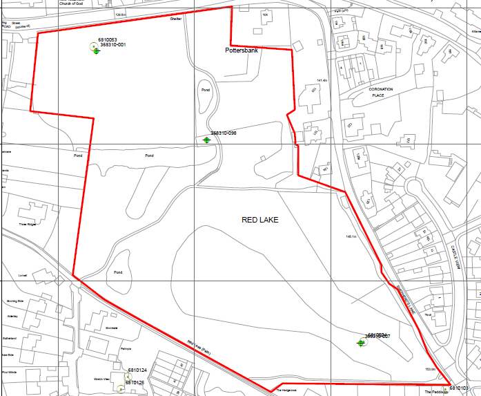
The geotechnical assessment which was undertaken on the site was carried out by the Council’s specialist geotechnical engineer. It gathered all the historical information on the mining history of the site from a range of data sources including the extensive records held by both the Coal Authority and the Telford Development Corporation. The report identified a number of mine shafts on the site two of which have been treated in the past and one which has never been addressed. The mine shaft which is of particular concern is identified as being located immediately under the existing footpath and there is no record in any of the archives of it having received any treatment (capping or grouting etc). A map showing the mineshaft location is below .
Since the geotechnical study identified the untreated mineshaft was positioned directly under the footpath this was seen as an unacceptable risk in terms of increasing the recreational access to the site through the LNR declaration. For this reason, work had to be funded to realign the section of path sloping from the lost pool to the canal.
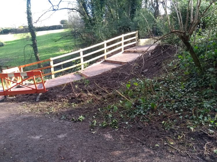
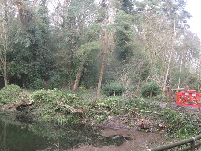
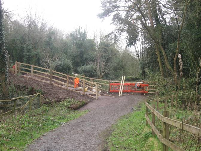
These images show the work to the bank just to the north of the canal – replacing a slope which had carefully regraded earlier steps in 2014, with new steps. This means that the canal is no longer fully accessible. This matter has yet to be finally resolved and accepted, but it seems to be necessary to again limit access to those who are able to manage some steps. The site is by its nature very steep, but at least people do have the opportunity to get onto the site and sit by the path near the round pool as well as the lost pool, so we will look to enhance these areas for those unable to get further.

